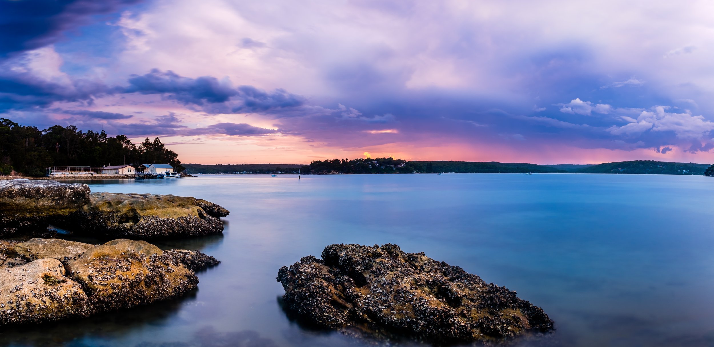
Cook Electorate
The Cook Electorate, established in 1906, is a significant electoral division located in the southern suburbs of Sydney, New South Wales. Originally named after Captain James Cook, the British explorer credited with charting the eastern coastline of Australia in 1770, the electorate holds historical importance in Australian federal politics. As of 2024, it was also named after the Rt. Hon. Sir Joseph Cook GCMG PC (1860–1947), who served as Prime Minister of Australia (1913–14) and was a Member of the House of Representatives (1901–21). Over time, the boundaries of Cook have shifted due to population growth and redistribution. Most recently, in October 2024, its boundaries were officially updated to reflect changes in the area's demographics.
Cook covers an area of approximately 97 square kilometres and encompasses a variety of suburbs that reflect both suburban and coastal lifestyles. Some of the key suburbs include Cronulla, Miranda, Caringbah, and Sylvania, which are known for their vibrant community life and access to natural attractions. Cronulla, in particular, is famous for its beaches and surfing culture, attracting both locals and tourists. The electorate also includes parts of the Royal National Park, offering residents and visitors easy access to one of the oldest national parks in the world. Economically, the region is a blend of commercial areas, small businesses, and residential zones, with its local economy benefiting from tourism, retail, and services.
Suburbs and part suburbs in the Cook electorate:
Caringbah, Caringbah South, Como, Cronulla, Dolls Point, Dolans Bay, Greenhills Beach, Grays Point, Gymea, Gymea Bay, Jannali, Kangaroo Point, Kareela, Kirrawee, Kurnell, Lilli Pilli, Miranda, Oyster Bay, Port Hacking, Sandringham, Sans Souci, Sutherland, Sylvania, Sylvania Waters, Taren Point, Woolooware, Yowie Bay

